
Some of the most striking discoveries of recent years were not dug out of the ground, they were computed out of it. Pairing LiDAR, which maps terrain hidden beneath forests, with machine-learning models trained to recognise human-made shapes, researchers are reading landscapes in entirely new ways.
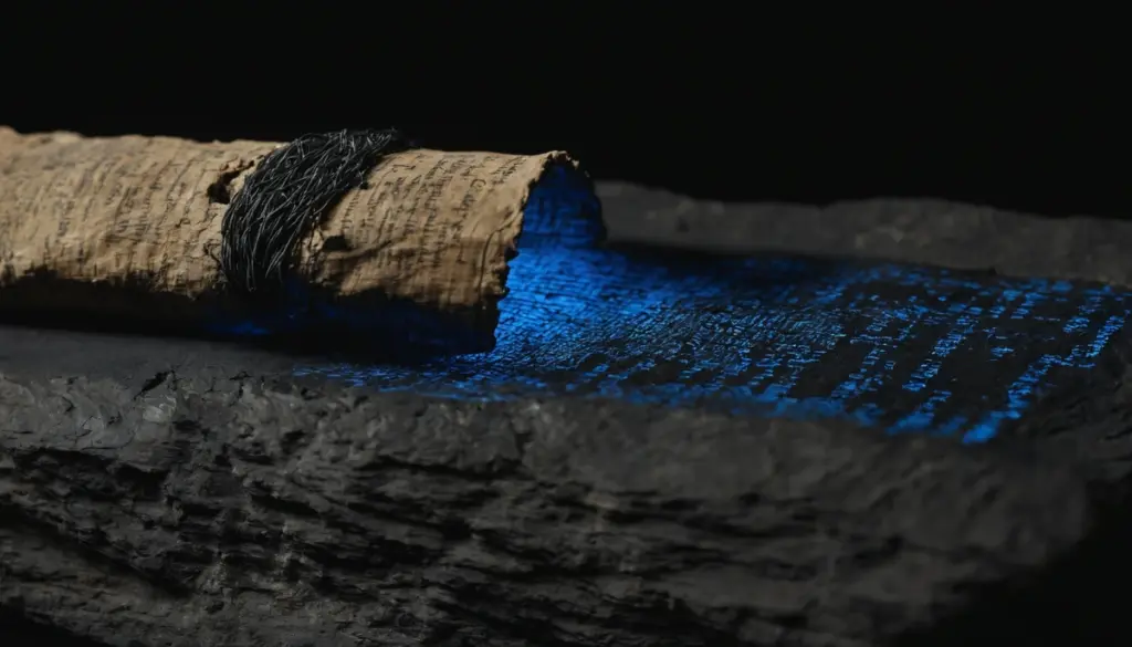
The freshest example is textual rather than spatial. In July 2025, scholars at Ludwig-Maximilians-Universität Munich and the University of Baghdad announced that an AI-supported platform had matched 30 scattered cuneiform fragments to reconstruct a roughly 250-line Hymn to Babylon lost for a millennium, a process they say would otherwise have taken decades (LMU release via Phys.org; Fadhil & Jiménez, Iraq). In the Netherlands, the Leiden-led “Heritage Quest” project combined open LiDAR, AI and online volunteers to flag thousands of potential sites, confirming finds at around 90% accuracy (Leiden University). And researchers continue to refine how AI learns to “see” sites, including by training on simulated data where real examples are scarce (New Mexico Consortium, 2025).
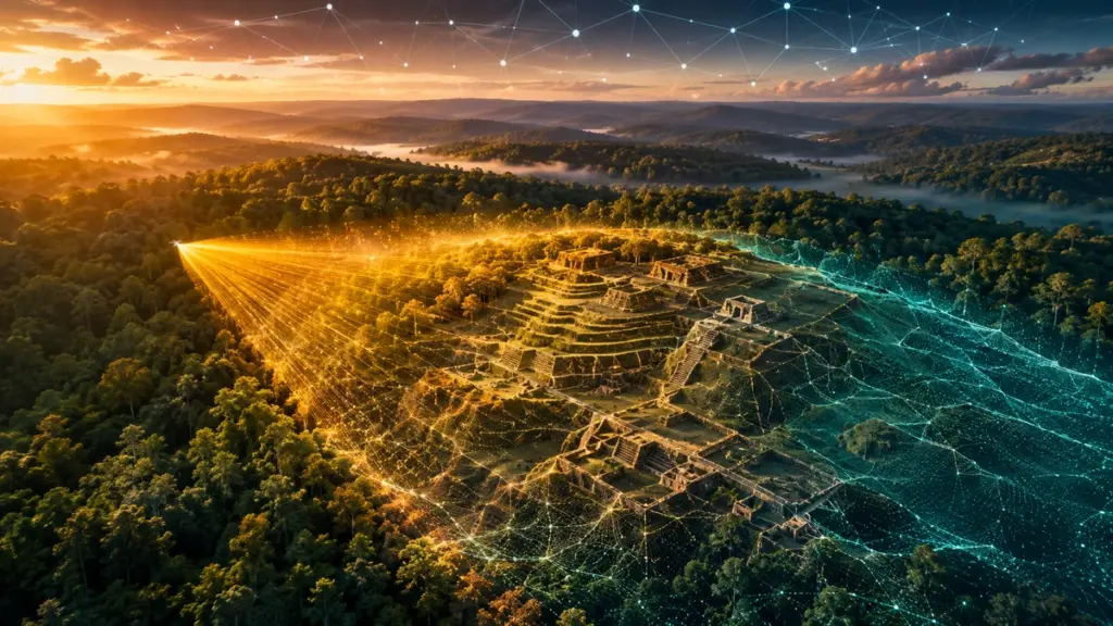
Europe’s fingerprints are everywhere, including Poland’s. A team from the University of Warsaw’s Center for Andean Studies and Wrocław University of Science and Technology used drone-mounted LiDAR to reveal previously unknown structures and water channels at the Chachabamba complex near Machu Picchu (Archaeology Magazine; NBC News).
Two themes recur: AI amplifies the expert rather than replacing them, and the public can join in. For HI-EURECA-PRO’s regions, landscapes layered with mining, industrial and rural history, the recipe is the same. Beneath spoil heaps and forgotten rail lines, stories wait to be found not with a spade first, but with a sensor and a model.